North Bethesda is Not Rockville
Call it whatever you want, but none of our homes are actually in the City of Rockville, although the post office that serves our streets is. There are several ways that define location: local governance, planning, postal operations, tax records, and the legal description in property deeds and land records.
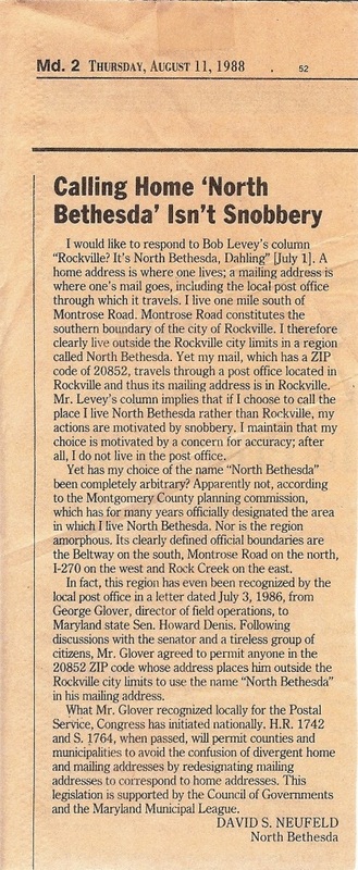
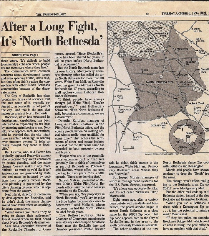
1. Local governance. Montgomery County is the smallest local governing body for our location. Within Montgomery County, there are several incorporated entities, which include the City of Rockville, Gaithersburg, Somerset, Garret Park Village, Kensington, and a few others. Consider them chocolate chips in a cookie. The county is the cookie, and the incorporated municipalities are dotted within it. Each incorporated town/city/village has its own elections, police & fire departments, along with city taxes. Any place that is not within incorporated boundaries is in Montgomery County proper. The City of Rockville’s southern boundary is Montrose Road, and Greater Farmland is outside that boundary. We do not pay Rockville taxes or receive Rockville services.
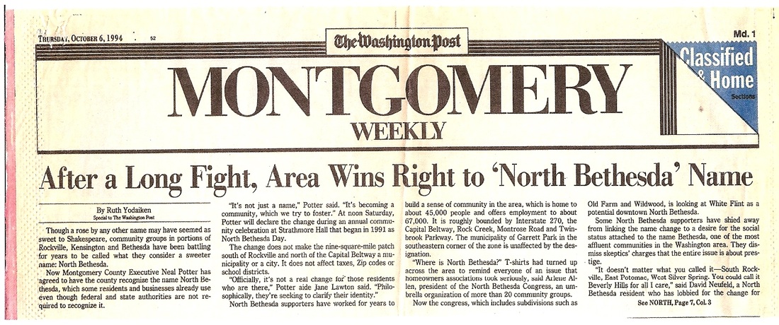
2. Planning districts. Many people think that commonly-recognized areas like Potomac, Bethesda, and Silver Spring are towns, but they are not. They are planning districts within the county and have no distinct governing bodies. The Maryland-National Parks and Planning Commission (MNPPC) was established in 1927 to develop master plans for Montgomery and Prince Georges counties. We live in the North Bethesda/Garrett Park master plan district, which, for nearly seven decades, is defined by the area west of Rock Creek Park, east of I-270, south of Montrose Road, and north of I-495.
3. Postal operations. The post office that serves our community, and many others like it, is within the City of Rockville boundaries. When Old Farm and Tilden Woods were built in the early 1960s, the builder advertised them as “Bethesda” homes. The postal service had planned to have mail delivered from a Bethesda post office, but, ultimately, decided to assign the Rockville station on Rollins Avenue. That’s how we ended up in 20852 with a Rockville postal address. Nearly 20 years ago, the USPS determined that 20852 is a dual-designation post office. Officially, any of these 3 addresses are acceptable for 20852: Rockville, North Bethesda, or N. Bethesda.
4. Tax records, land records, and deeds. Tax records use postal addresses. Since the postal address assigned to our developments at construction was Rockville, it remains so in the tax records. Some properties, when sold, were reassigned as North Bethesda, so that some of our houses show Rockville and some show North Bethesda addresses. Land records and deeds are the official documents defining a property with what’s known as a “legal description.” Legal descriptions on the east coast use a lot/block/subdivision system. For instance, your property may be noted as Lot 10, Block M, Old Farm. If you look at your deed, it will note your legal description, then say “also known as” and list the postal address for easy reference, since that is how most people describe their properties. This refers back to the semi-arbitrary postal address assigned by USPS.
It’s a fallacy that North Bethesda was “invented” by the real estate industry to boost home prices. Names don’t alter home values, but the characteristics of the home and community do. North Bethesda has been in existence since MNCPPC created the planning area in our county. In summary, you can use whichever you prefer or feel is more accurate based on your definition of location.
   Play Pause |
